- You have no items in your shopping cart
- Subtotal: $0.00
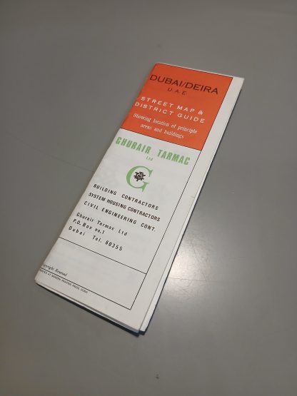
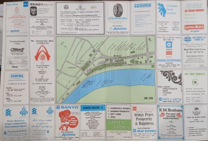
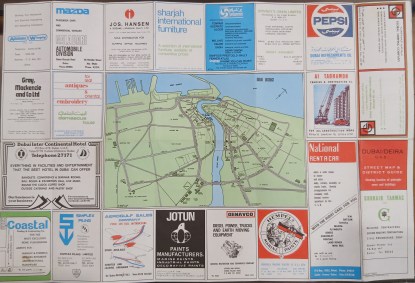
A rare folding map and street guide to the Dubai creek and Deira area, from 1976. Printed on both sides. The first shows a close-up map of the Deira district along the north side of the Creek, showing buildings of interest including hotels, government authorities, office blocks and others. The other side shows a zoomed-out map of the wider Creek area, again showing important landmarks and sites such as the Ruler’s Palace, British Embassy, schools and more. Notably, it lists the Trade Centre as being “u/c”, or under construction. The building – which became iconic along the Sheikh Zayed Road – was completed in 1979. Both sides also feature numerous advertisements from local companies and branches of international firms, including banks, hotels, airlines, contractors, equipment suppliers, F&B companies, and others. Size: 65cm x 44cm opened, 9cm x 22cm folded. In very good condition indeed. Folds are sharp, no writing or damage to either side of the map. Not dated, but can be dated from a date on the Chartered Bank advertisement and from the status of the Trade Centre building.
Q & A
There are no questions yet