- You have no items in your shopping cart
- Subtotal: $0.00
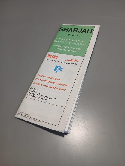
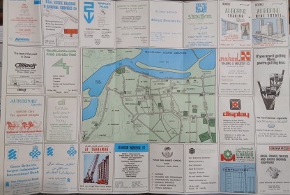
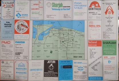
A rare folding map and street guide to Sharjah, published in 1976. Printed on both sides. The first shows a close-up map of the city centre, including the Khalid Lagoon the Suq area, Mina Khalid, and key government buildings. The reverse shows a zoomed-out view of the wider Sharjah area, including the main industrial areas, roads connecting to Dubai and the Northern Emirates, and key sites including the former airport, hotels, palaces, the power station, traffic police office and more. Both sides also feature numerous advertisements from local companies and branches of international firms, including banks, hotels, airlines, contractors, equipment suppliers, F&B companies, and others. Size: 65cm x 44cm opened, 9cm x 22cm folded. In very good condition indeed. Folds are sharp, no writing or damage to either side of the map. Not dated specifically, but can be dated from a sister map on Dubai from 1976.
Q & A
There are no questions yet